Hampton Personal Injury Lawyer

If you’ve been physically hurt due to someone else’s negligence, a Hampton personal injury lawyer can assist you with each step. The skilled and experienced legal team at Cooper Hurley Injury Lawyers gives personalized attention to the unique circumstances of your case, fighting for your rights so you can receive the financial compensation you deserve.
If you’ve been injured, you want experienced, knowledgeable, and compassionate legal representation to fight for your rights. Cooper Hurley Injury Lawyers of Hampton, VA, has the expertise required in a law firm to handle many kinds of personal injury cases, including car accidents, spinal cord injuries, and premise liabilities.
The personal injury attorneys at Cooper Hurley Injury Lawyers will aggressively negotiate with insurance companies, file all applicable claims on time, and gather the necessary evidence to get you a favorable outcome in your case.
Injury Law Is All We Do
Personal injury law is our passion. Our mission is to hold the responsible party accountable for the negligence that caused your injury and help you receive the financial compensation you deserve.
Whether you sustained catastrophic injuries or a traumatic brain injury, with symptoms starting well after the accident, our Hampton personal injury attorneys know how to advocate effectively on your behalf. Cooper Hurley Injury Lawyers partners John Cooper and Jim Hurley have been honored as Top Lawyers of Coastal Virginia in 2023 and are awarded Virginia’s Super Lawyer designation. Additionally, they have both received an AV rating, the highest possible, from Martindale-Hubbell for their professional reputations.
The Cooper Hurley Injury Lawyers team brings professionalism, humanity, dedication, and passion to your case and strives for legal outcomes that afford you the fair and just compensation you deserve.
Though every case is different, and results vary, our Hampton personal injury lawyers will work diligently to obtain the financial compensation you need to heal and move forward. Some of our past case results include the following:
- $6.5 million for a car accident victim — Virginia’s largest reported recovery in 2020.
- $5.8 million for a client whose accident resulted in a traumatic brain injury and post-traumatic stress disorder
- $5 million for a client hit by a construction truck
- Over $4.7 million for an adolescent auto accident victim
- $1.5 million for the family of a driver killed in a truck accident
Cooper Hurley Injury Lawyers have handled hundreds of out-of-court settlements and trial juries on personal injury cases, including the following:
Types of Personal Injury Cases We Can Help You With
- Car Accident
- Motorcycle Accident
- Railroad Accident
- Bicycle Accident
- Truck Accident
- Premises Liability
- Wrongful Death
- Traumatic Brain Injuries
Have you lost a loved one due to the negligence of another? Our Hampton wrongful death attorneys can also help you pursue a lawsuit.
Car Accidents Are a Common Cause of Accident Injury in Hampton, VA
Interstate Highway 664, U.S. Highway 60 (Kecoughtan Road), U.S. Highway 258 (Mercury Boulevard), Settlers Landing Road, and LaSalle Avenue see a lot of heavy traffic and, therefore, many accidents. In 2020, the Virginia DMV reported 118,498 crashes, resulting in 968 fatalities and 58,786 injuries. If you’ve suffered from a car accident, contact a Hampton car accident attorney at Cooper Hurley Injury Lawyers.
Though car accidents are common, they aren’t the only motor vehicle accidents occurring on roadways. Trucking accidents can be more devastating because of their size and the extent of potential damage from their speed. Additionally, the Virginia DMV reported 2,048 motorcycle accidents in 2020.
These road accidents can result in severe injuries due to a motorcycle’s open structure and lack of stability. Our Hampton motorcycle personal injury lawyers have helped many motorists recover the damages necessary to rebuild their lives.
Whether it was a collision involving a motorcycle, tractor-trailer, pedestrian, bike, or another car, you have rights. Contact a personal injury lawyer today in Hampton, VA, for a free consultation.
Other Types of Personal Injuries
Most personal injury claims are based on another party’s negligence. Here are other common accidents our personal injury lawyers in Hampton see regularly.
Slip and Fall
Hampton offers the best of urban living with scenic open spaces. But hidden hazards, such as an unmarked wet floor or broken staircase, can cause a slip and fall in stores and other businesses. You could face a long recovery from a painful injury.
Our Hampton slip and fall attorneys can build a strong case against the premise owner and help you get the financial compensation you need.
Traumatic Brain Injuries
Traumatic brain injuries are caused by blows to the head, usually with significant force. Correctly diagnosing the severity of traumatic brain injuries involves imaging, blood tests, and physical and psychological assessments.
This is a complex practice area of law, as proving traumatic brain injuries in court can be difficult. Some traumatic brain injuries are more severe than others. Additionally, symptoms don’t always immediately appear after the injury, and someone with a mild diagnosis may appear “normal.”
Our experienced Hampton personal injury attorneys at Cooper Hurley Injury Lawyers know what kind of evidence is necessary to prove your level of traumatic brain injury.
How Can a Hampton Personal Injury Lawyer Help Me?
The aftermath of a personal injury can be hard to deal with. You’re recovering from the physical pain and emotional distress associated with the accident. Moreover, you could be facing a financial roadblock resulting from your injury.
You have legal options and rights, and Hampton, VA, personal injury lawyers help you put together a strong case. When you work with Cooper Hurley Injury Lawyers, you know you’re working with a knowledgeable and experienced attorney who can handle the following for your case:
- File appropriate and timely claims
- Gather all applicable evidence, including witness statements, medical reports, and police reports
- Assess the extent of your injuries for financial damages
- Prove negligence and fault
- Negotiate with insurance companies to settle a claim
- Try your case in court
What Types of Damages Can a Hampton Injury Lawyer Help Me Recover?
A personal injury claim may enable you to seek various damages to compensate for your losses. Some of these damages are economical and easily quantifiable. These damages may include medical bills, lost wages, hospitalization expenses, and prescription drug or medical device costs.
Other damages are not so easily quantifiable but also may be available in personal injury cases. These non-economic damages may include pain and suffering and loss of companionship. An award involving these types of damages is designed to compensate you for the difficulties and perhaps permanent changes to your life due to the injuries you suffered. A Hampton injury claim lawyer can help you recover damages for your injuries.
You may be entitled to some of the following damages:
- Medical expenses: Any past and future medical expenses resulting from the accident. These could include, but are not limited to, doctor visits, hospital stays, rehabilitation, blood tests, scans and x-rays, medications, surgeries, follow-up appointments, psychiatrist visits, and other diagnostic tests.
- Lost wages: Depending on the severity of your injuries, you may be unable to work. Your inability to work could take weeks, months, or longer, and you’ll lose those future wages. Proving that your injuries resulted from someone else’s negligence can help you recover those lost earnings.
- Diminished earning capacity: Your injuries may mean you can’t perform at the same work level you did before the accident. For example, injuries from your accident may mean you have to take a lower-paying job that doesn’t require the same physical and cognitive elements your original employment had. Also, your injuries may have prevented you from getting the promotion you would have gotten if the accident had never occurred.
- Pain and suffering: You likely have physical and emotional pain and mental anguish arising from the accident. Although hard to quantify, our Hampton personal injury attorneys will also help you recover these damages.
- Scarring and other deformities: Some injuries are life-changing, as accidents may be severe enough to leave physical scars or result in amputations. You can be compensated for these injuries.
Loss of enjoyment of life and loss of consortium: The emotional scars from an accident could make it possible for you to no longer enjoy the life activities you once did. Also, your spouse or partner can make a claim for “loss of consortium,” which is a loss of companionship, affection, and intimacy due to your accident.
Frequently Asked Questions
What must be true for a personal injury case to succeed in Hampton, VA?
A personal injury case is an insurance claim or lawsuit brought by an injured person against another person or business (or their insurance company). If a person or business acts with negligence that results in injuries to another, a claim for payment for damages can often be made. To have a successful Hampton personal injury claim, the following elements must be present:
- The person or business causing the injury must have a duty of care owed to another person.
- The person or business negligently violated that duty of care.
- That duty of care violation resulted in personal injuries, harm, and other losses.
What is negligence that results in injury?
If a person or party fails to act in a manner that reasonably ensures the safety of others, they could be negligent and, therefore, liable for any injuries that result.
What is the statute of limitations for personal injury cases in Hampton?
Virginia law has a timeframe in which a lawyer must file personal injury claims. Under Va. Code § 8.01-243, this timeframe, generally referred to as a statute of limitations, imposes a deadline of two years from the date of the accident that led to your injuries. Claims are likely lost if a lawsuit is not filed in the Hampton Circuit Court or other proper venues within that time.
Get Your Free Case Evaluation from a Hampton Personal Injury Lawyer
Whether you’ve been involved in a car accident, slip and fall, or diagnosed with a traumatic brain injury, you may be left dealing with several repercussions. If you’re facing financial, physical, and emotional hardships resulting from an accident caused by another person’s negligence, consult a Hampton personal injury lawyer to determine your legal options.
You don’t have to go through the outcomes of your injury alone. Seek legal representation with the expertise necessary to act on your behalf and pursue the financial award you deserve from the responsible parties and their insurance companies.
Contact a Hampton personal injury lawyer at Cooper Hurley Injury Lawyers for a free consultation about your circumstances and injuries. Our compassionate lawyers are dedicated to holding the at-fault parties accountable for the injury inflicted on you. Cooper Hurley Injury Lawyers want to help you get the justice you deserve.
Free eBook
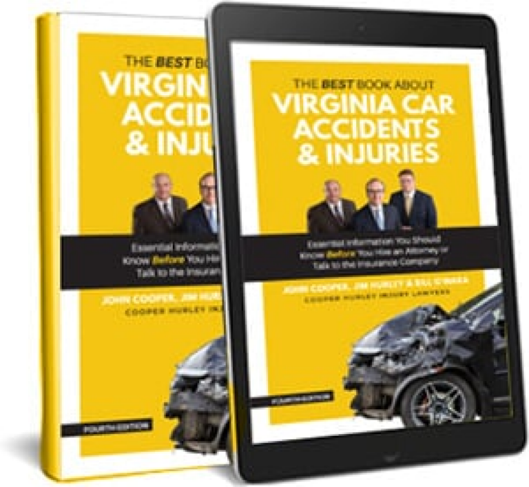
Get a free copy of “The Best Book About Virginia Car Accidents & Injuries”
Learn what to do after an accident, how to deal with insurance agencies, and when to get help. Download your free copy of The Best Book About Virginia Car Accidents & Injuries.
Testimonials